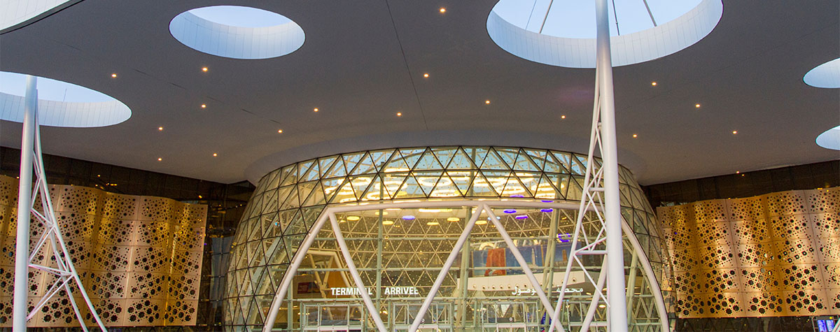
Marrakesh Airport Map
Morocco, a beautiful country in northwest Africa, is bordered by the Mediterranean Sea and the Atlantic Ocean. It is known for its clean beaches and natural beauty. National parks and reserves have been established throughout the country to conserve such nature and animals. From the stunning arid deserts to the pristine clear water beaches, Morocco is a kingdom on beautiful landscapes.
Marrakech Airport map
Surrounding Cities
Arabic is the official language, therefore, you may be wondering how to converse with local people when visiting Morocco. French generally is spoken along with Spanish, particularly in the north of the country, is also commonly spoken. Many people in larger cities and tourism areas can also speak English.
There are five major cities positioned around Marrakesh airport. Good road networks make travelling to any one of them a comfortable road trip by car from Marrakech. The cities include:
Ouarzazate is about 200 kilometres southeast of Marrakesh
Safi is located around 200 kilometres west of Marrakesh.
Casablanca is around 240 kilometres northwest of Marrakesh.
Essaouira is about 180 kilometres west of Marrakesh.
Agadir is about 250 kilometres southwest of Marrakesh
Weather
Summers in Marrakech are hot and dry, with temperatures ranging from 30-38°C (86-100°F) between May and September. July is the sunniest month with 335 hours of sunshine. Winters are warm, with typical high temperatures ranging from 18-22°C (64-72°F) between December and February, while most rain falls between the months of November and March. With 209 hours of sunshine on average, February has the least amount of sunshine.

